What’s the problem?
- New Zealand does not have consistent set of geographic areas
- New Zealand’s official geographic areas do not stack
We have at least the following sets of geographic areas:
- Areas based on local government boundaries: territorial authorities, local boards etc
- Areas based on river catchments: regional councils
- Areas created, or at least evolved, by real estate agents: suburbs
- Electoral areas
- Areas created by large agencies: Police, FENZ, Civil defence, etc
- Areas created by Statistics New Zealand: meshblocks, area units, urban areas, statistical areas 1, 2, 3
- These are regularly updated to reflect population changes
- Out of date version of these are often used by other agencies (police, health)
Where is Mitchelltown?

Sites to use to understand geographic areas
Suburbs
You are likely to encounter three different sets of suburbs
- Statistical area (SA2 and SA3)
- Area units (old)
- FENZ localities
In older health data you may still encounter ‘Health domiciles’
StatsNZ hierarchy

Read more here and here.
SA3s in major, large, and medium urban areas have been created by combining SA2s to approximate suburbs as delineated in the Fire and Emergency NZ Localities dataset.
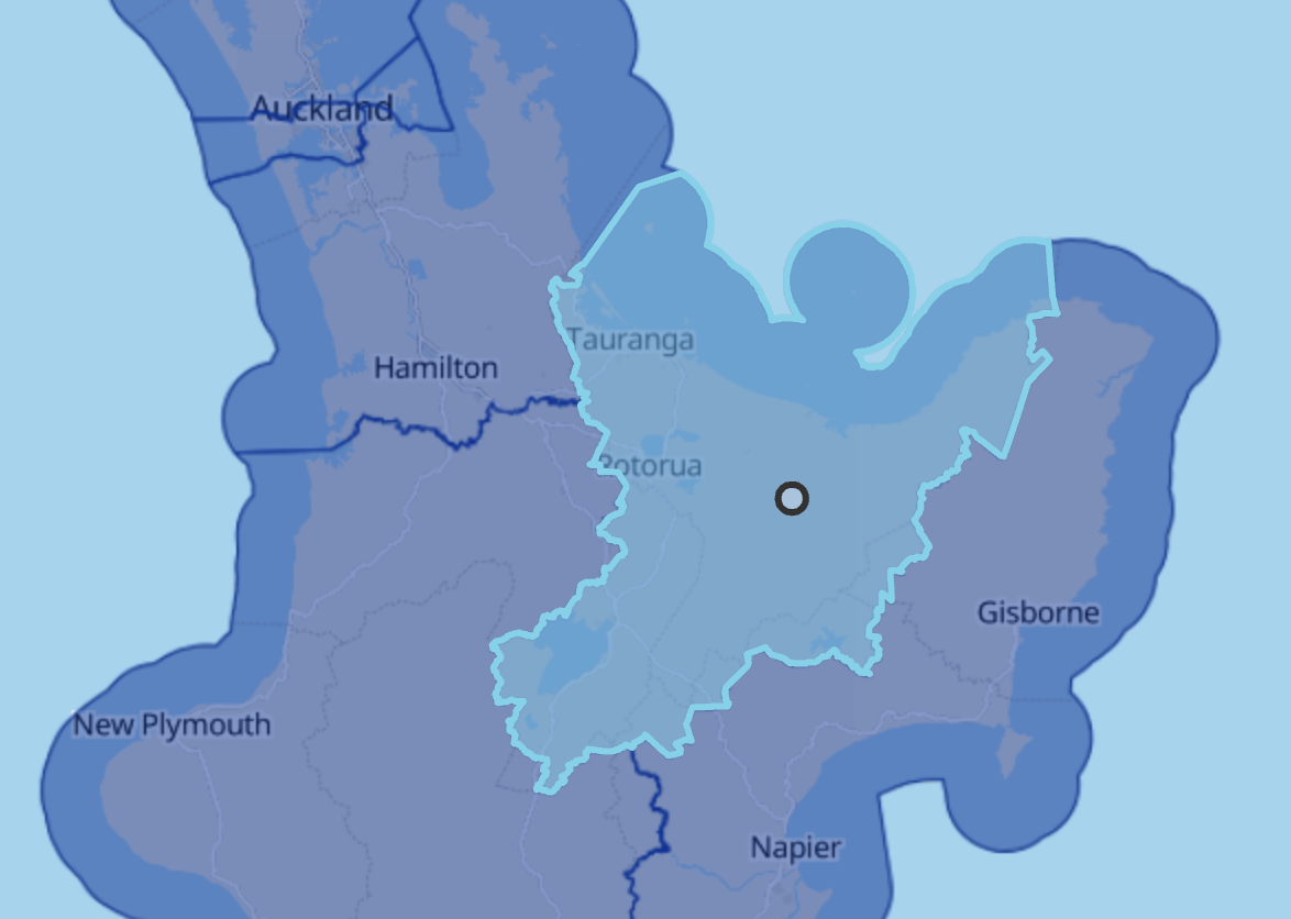
Regional councils, territorial authorities and unitary bodies
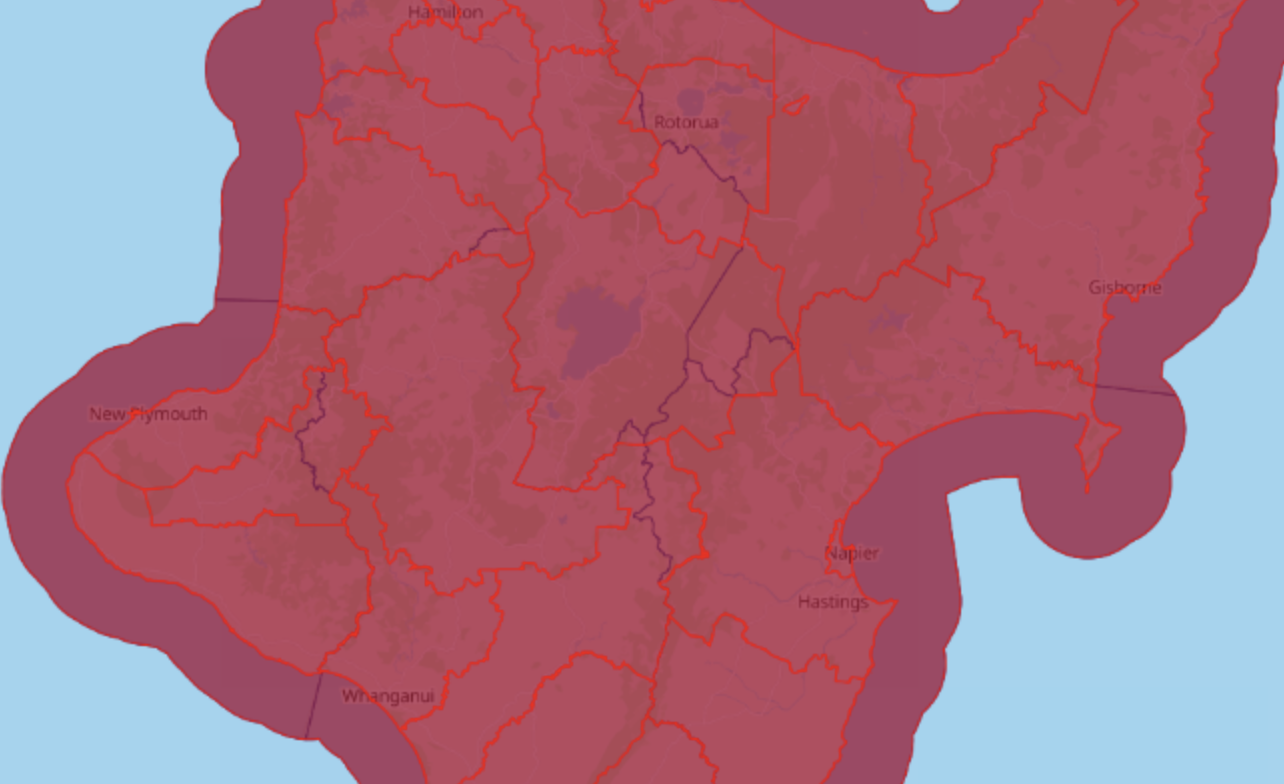
Taupō district (grrrr)
Official and clipped
Tips
- I call SA2, 3, area units, health domiciles, and FENZ localities suburbs
- I call meshblocks and SA1s neighbourhoods
- If are asking for suburb level data make sure you either tell the agency what you want or ask for a range of possible options
- The deprivation data means the agency has data on some sort of statistical level